- Best Kids’ Books of 2026 So Far
- Buy 2
- Elementary School
- First Day of School Books
- French Immersion Booklist
- High School
- Middle School
- Pack for School in Style
- Pre-School & Kindergarten
- Proudly Canadian owned & operated. Discover Canadian authors.
- School Supplies Under 25
- Teachers’ Choice Book Picks
- Workbooks That Make Learning Fun
Sale

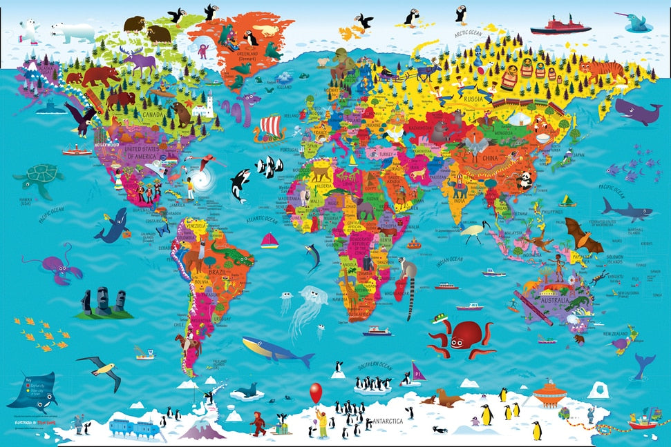

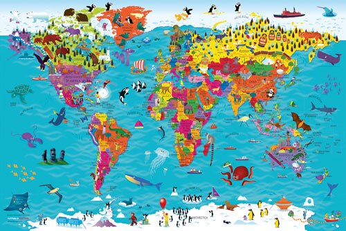




Collins Childrens World Wall Map: An illustrated poster for your wall
Original price was: $12.61.$10.99Current price is: $10.99.
17
People watching this product now!
Description
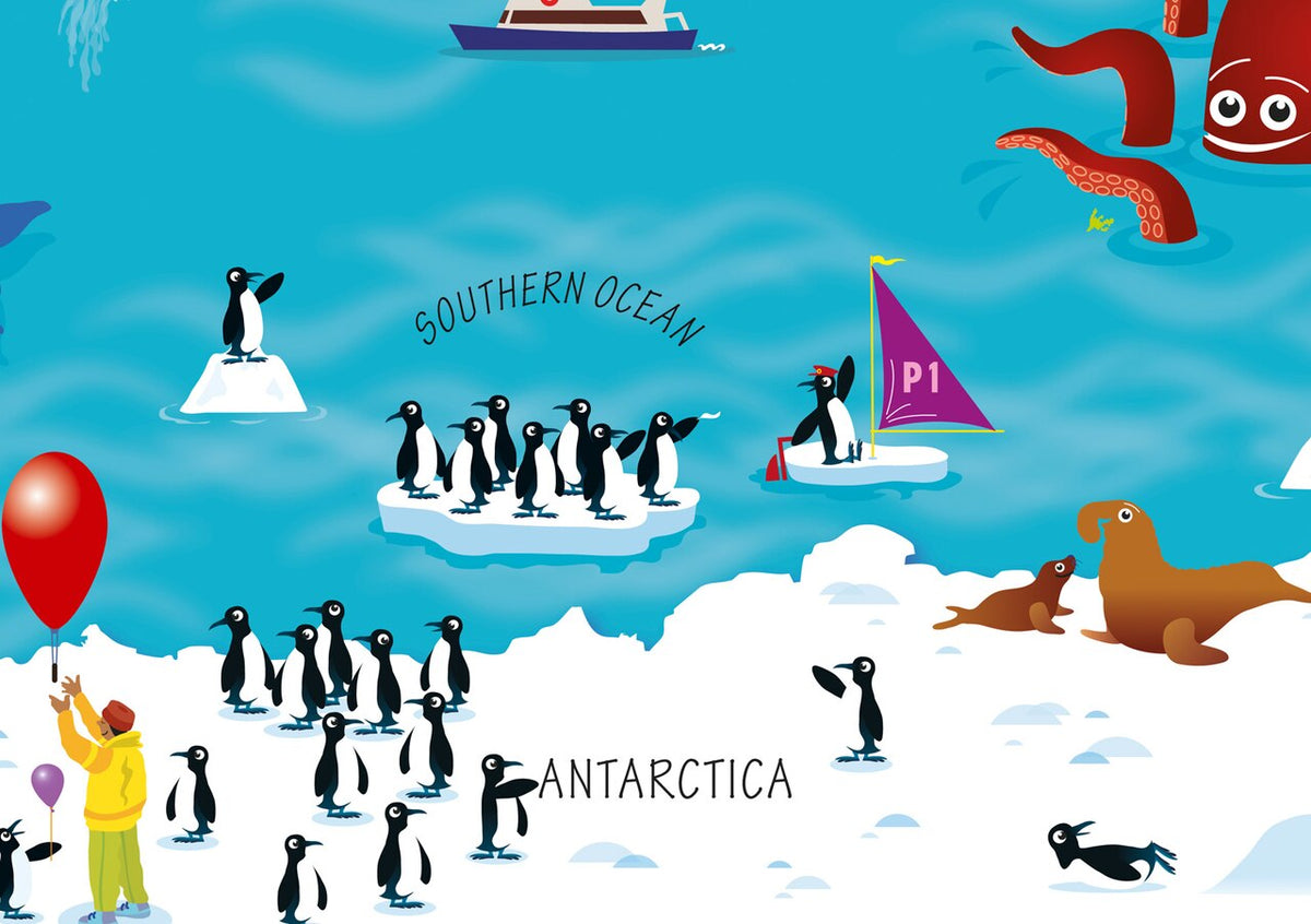
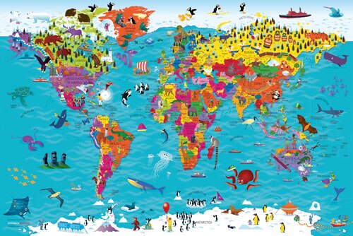
Beautifully illustrated wall map for inquisitive kidsColourful Illustrated Map of the WorldThis bestselling, highly illustrated pictorial map is designed to take children on a journey of discovery around the countries of the world. The mapping is up-to-date, colourful and highly informative and shows countries and capital cities.Stunning illustrations are used to depict themes such as national emblems, customs, food, birds, animals, buildings and sports to help younger readers gain an understanding of the world.Dimensions 610 X 915 mm / 24 x 36 inchesIllustrated by Steve Evans.Now with barcode removed due to popular demand from our customers.
Related products

5-Minute Nature Stories: A Picture Book
Original price was: $19.99.$10.99Current price is: $10.99.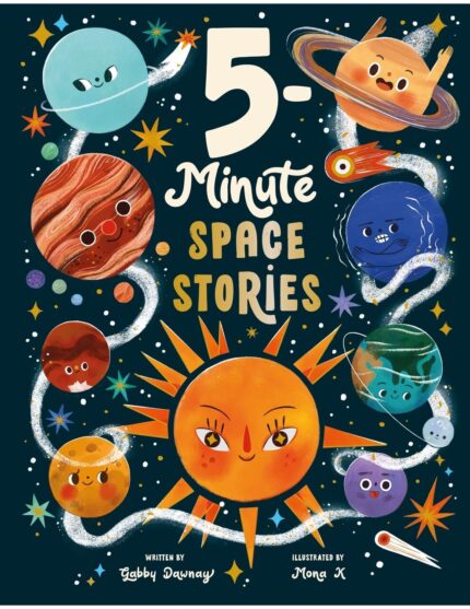
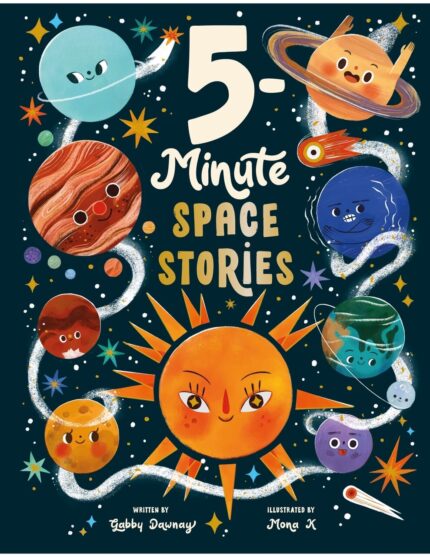
5-Minute Space Stories
Original price was: $18.99.$10.99Current price is: $10.99.
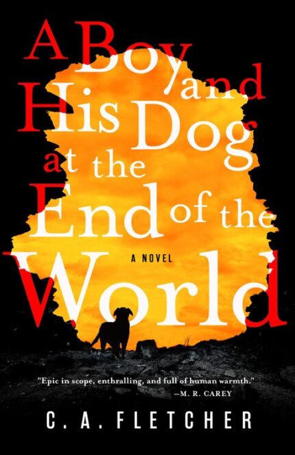
A Boy and His Dog at the End of the World: A Novel
Original price was: $25.99.$10.99Current price is: $10.99.

A Is for Awesome: 23 Iconic Women Who Changed the World
Original price was: $12.99.$10.99Current price is: $10.99.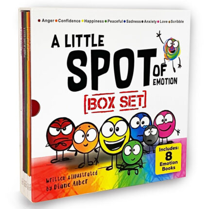
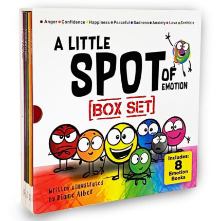
A Little SPOT of Emotion 8 Book Box Set (Books 1-8: Anger, Anxiety, Peaceful, Happiness, Sadness, Confidence, Love, & Scribble Emotion)
Original price was: $81.96.$24.59Current price is: $24.59.
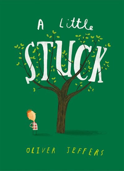
A Little Stuck
Original price was: $12.99.$10.99Current price is: $10.99.